Saturday, February 23, 2013

Project Details: Indian Creek Riparian Restoration at Devils Backbone

I had the pleasure of meeting with Casey Cisneros and Tim D'Amato of Larimer County for a site visit at Indian Creek.  Casey, Tim, and I walked around the project site talking about potential locations for focusing our restoration efforts.  I snapped a bunch of photos, so let's jump in!
If you look closely you can see the Blue Sky trail where it intersects with the trails from Coyote Ridge and Rimrock Open Space.  The Indian Creek drainage is at the bottom of the descent from the intersection.

Here you can see Blue Sky trail cross right through the Indian Creek drainage and head off to the west toward the Indian Summer loop.


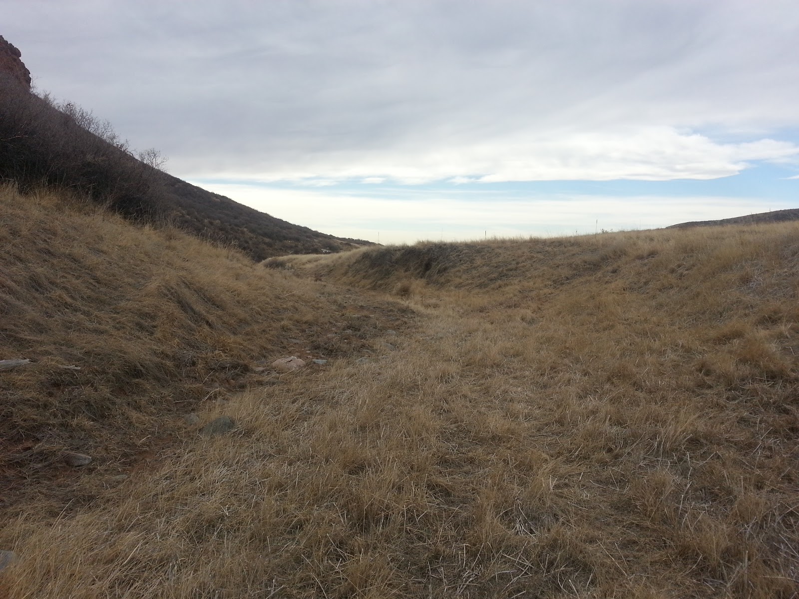
If you stand on the Blue Sky trail in the middle of Indian Creek, you will see this to the South.  This area is severely lacking woody vegetation.  If you were to stand in this exact spot and spin around to the North, you would see thick shrubs, willows, and cottonwoods along the Indian Creek drainage.  

The parcel of land to the North had been fenced off and was managed differently than the parcel that we will be working on and was excluded from heavy livestock use and management.  It is possible that fire was used as a management tool many years ago to improve vegetation production for the livestock.  The fire would have burned off plant material, cycling nutrients back into the soil, and increased the amount and quality of forage the next spring.  Another effect of frequent fire on a landscape is reduced woody vegetation.

Tim and Casey lead the way down Indian Creek!


The drainage is not completely devoid of woody vegetation but the little bit that exists is heavily browsed by wildlife.  This kind of heavy use prohibits adequate growth.

A bend in the creek is currently harboring this little guy, but you can see that the last high flow has deposited a good bit of debris.  Hopefully this tree can help anchor the streambank against high flows in the future.

Some mountain bikers on Blue Sky headed back toward the Coyote Ridge intersection.

It's quite pretty along the creek bottom!  The gentle slope on the left side of the picture may be a good location to focus some of our efforts on.


There were a couple of locations that really stood out as being preferred locations for willows.  In the two pictures above you can see horsetails lining the banks of the creek.  Horsetails are only found in very moist areas and it is likely that these locations experience extended periods of moisture, possibly from a seep.  Willows would have the best chance for survival in these wetter areas.

Wild rose has established on this bank.  Unfortunately, the backdrop isn't in such good shape...

This is a separate drainage heading back up the hill towards the Indian Summer loop.  If we have the time and resources we may start restoring this drainage as well.  If not, we may leave this for another project down the road.


During this project we will be planting willow stakes, bare-root stock, and cottonwood.  Due to the heavy wildlife browsing that we noticed along the creek bottom, we may fence off specific areas to give our plants a better chance of success.

This should be a fun project and it is in a great location to observe your hard work right from the trail! 

I can't wait to work with everyone who has volunteered for this project and if you haven't registered yet, there are still some spaces available!  Be sure to send Casey Cisneros an email (cisnerct@co.larimer.co.us) to register, and be sure to tell him that you want to volunteer with Trailcology!

If you have any questions, feel free to send me an email!  Trailcology@gmail.com

Happy Trails!

Chris


Sunday, February 10, 2013

River Bluffs Open Space Riparian Restoration

Not too long ago I took the opportunity to adventure out to the River Bluffs Open Space to get a first-hand look at the riparian site where we will be working at on March 23rd.  Prior to this visit I had only seen pictures and heard about the site.  I wanted to be sure that I was familiar with the location prior to the project.  If you've never been the River Bluffs you should note that it is important to turn North off of 392 onto South County road 3, immediately after you pass by the Ptarmigan Country Club (before you drive down the hill).  You are only on County road 3 for roughly a 1/2 mile and you will see the Poudre Trail on your right side.  Turn right onto County road 32E and you will soon see the trailhead for River Bluffs Open Space.  Here is a little map that may help you.


My little helpers are pointing out a sign near the River Bluffs trailhead letting us all know that the County has been hard at work to make the Open Space a healthier landscape through habitat restoration.  Habitat restoration has many benefits for the land such as improved wildlife habitat, improved ecological function, and improved hydrologic function.

Shortly after the fenced-off restoration site we came across this lovely bridge over the Poudre River that connected the short River Bluffs trail with the Poudre River Trail.  As a side note, this turned out to be a great place to throw some stones!

After crossing the bridge and turning South we came across a small drainage leading into the Poudre River.  This drainage appears to be fed by the area surrounding the Northeast section of the Ptarmigan Country Club.  On the West side of the Poudre River Trail you notice many willows and woody plants lining the drainage ditch.  However, on the East side of the trail you see the picture above.  This segment has been severely eroded, in part, due to the lack of woody vegetation.  Woody plants have strong root systems that are able to anchor streambanks and prevent erosion.

Some parts of the drainage have been bioengineered to improve the streambank structure.


In this photo you can see the only bit of woody vegetation along this degraded segment.  The Poudre River Trail is immediately adjacent to the tree.


Here you can see the grayish color of erosion matting that was laid down to prevent soil erosion and help anchor plants that were transplanted to the slope.


There is plenty of space for willows and cottonwoods to help stabilize the soils and streambank while also providing habitat for birds and other animals.

This is a picture of the West side of the drainage where you can see far more woody plants.  Walking along this section we could hear birds chirping and wildlife scrambling around in the brush.  

The drainage eventually leads into the Poudre River.


This should be a fun project and I'm excited to see how many plants we can get into the ground.  Our work will directly benefit wildlife and the Poudre River.  I can't wait to see all of you out there for Trailcology's first project!

Don't forget, if you want to register for this project please send an email to Jeffrey Boring at Larimer County (boringjs@co.larimer.co.us).

Happy Trails,

Chris